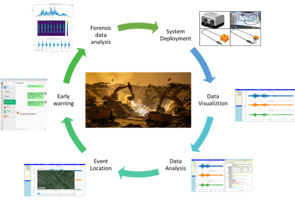
SmartSolo deployed a 50-node IMU-3C intelligent microseismic monitoring network in Western Hubei, China, to combat illegal mining. Using three-component triaxial geophones and AI-based signal classification,...
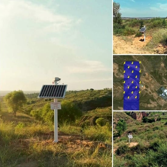
Efficient, non-invasive microseismic monitoring for safer and smarter mining operations.
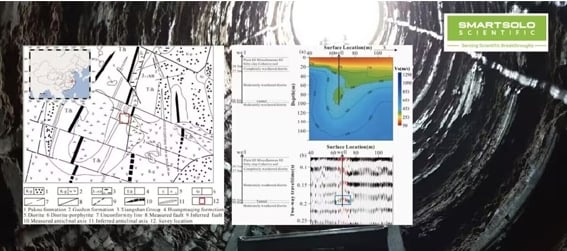
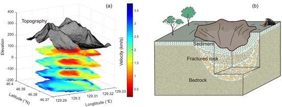
Mapping underground structures with advanced seismic imaging techniques and SmartSolo technology.
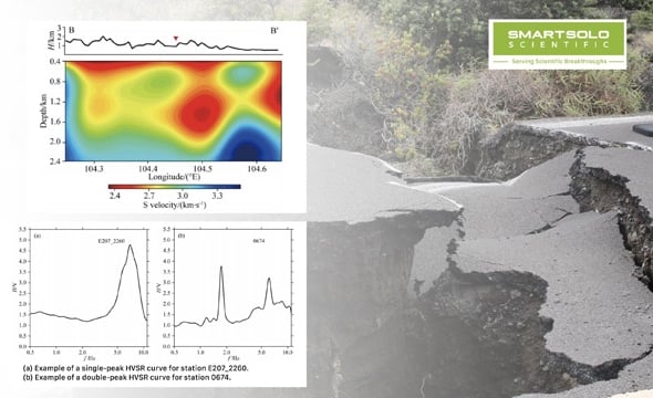
Exploring the potential of dense seismic arrays for urban fault surveys, employing innovative and cutting-edge methodologies...

Importance of Urban Fault Surveys Urban fault surveys play a crucial role in ensuring the safety and resilience of...
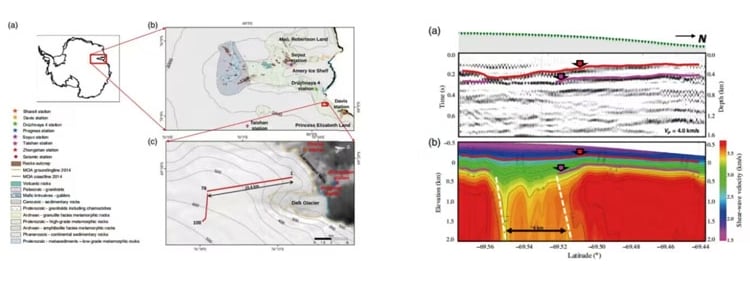
Exploring subsurface structures in Beichuan post-Wenchuan earthquake using SmartSolo technology.
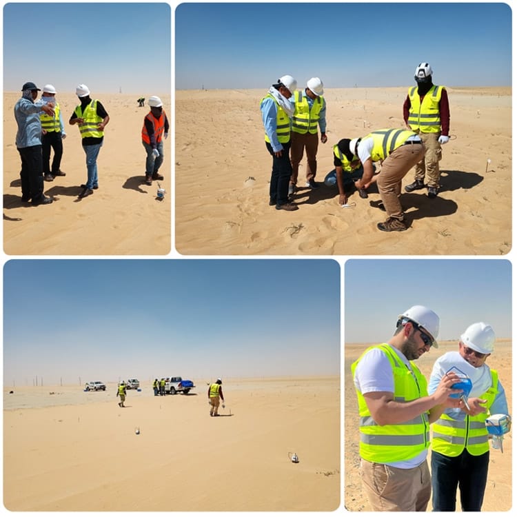
ACES completes a large 3D seismic project in Saudi Arabia using 1000 SmartSolo nodes, delivering amazing efficiency...
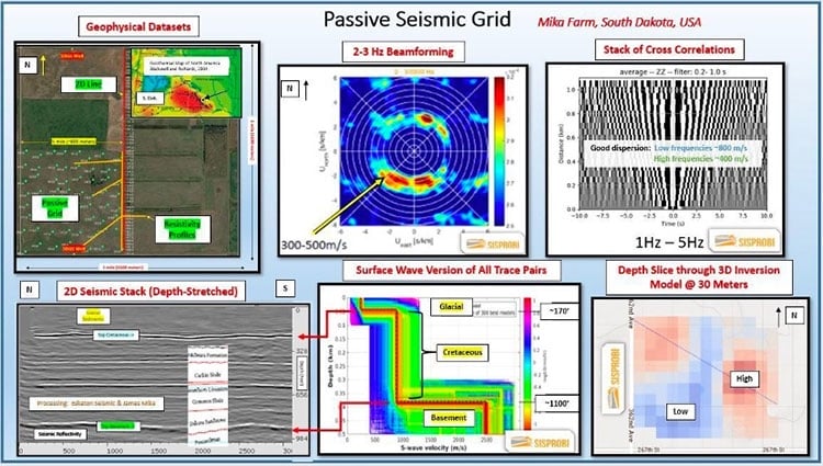
Discover how SmartSolo seismic nodes powered SEG’s environmental seismic noise survey in South Dakota.
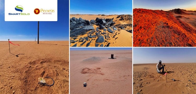
Discover how Southern Geoscience Consultants (SGC) leverages SmartSolo technology for efficient hydrogeological exploration...
SmartSolo deployed a 50-node IMU-3C intelligent microseismic monitoring network in Western Hubei, China, to combat...
A research team from CAS Guangzhou Institute of Geochemistry deployed 220 SmartSolo nodal seismometers to reveal...