The Leader in Serving Geoscience - SmartSolo Scientific
Explore real-life examples of how our services have transformed studies and businesses. Whether it’s enhancing operational efficiency, achieving scientific breakthroughs, or driving innovative solutions, these case studies showcase our practical expertise.
SmartSolo: Intelligent Microseismic Monitoring System for Illegal Mining Detection
SmartSolo deployed a 50-node IMU-3C intelligent microseismic monitoring network in Western Hubei, China, to combat illegal mining. Using three-component triaxial geophones and AI-based signal classification, the system identifies unique “seismic fingerprints” of unauthorized drilling and blasting. Real-time WeChat alerts deliver event notifications to enforcement personnel in approximately 2 minutes, with 100% classification success during field tests. The solution establishes a closed-loop Monitoring–Warning–Response–Feedback mechanism for modern mine security.
Unveiling the 80,000-Year-Old Secrets of Yilan Crater with Ultra-Dense Seismic Monitoring
A research team from CAS Guangzhou Institute of Geochemistry deployed 220 SmartSolo nodal seismometers to reveal the 3D subsurface structure and ~5.5-magnitude impact energy of China’s 49,300-year-old Yilan Crater. Published in Communications Earth & Environment.
Unlocking Greenfield Potential: Mapping the Curnamona Province with High-Density Nodal Arrays
The Curnamona Province in southern Australia is a 90,000 km² Paleoproterozoic to Mesoproterozoic craton with significant mineral potential, yet much of the region remains underexplored due to pervasive sedimentary cover up to several kilometres thick. This study deployed 135 SmartSolo IGU-16HR 3C three-component nodal seismometers at an average station spacing of approximately 25 km, recording continuous ambient noise data over just 30 days. Using Ambient Noise Tomography (ANT), a detailed 3D shear-wave velocity model was constructed to a depth of 20 km. The results successfully delineated shallow sedimentary basins (Vs<3400 m/s), mid-crustal velocity gradients (~200 m/s west-to-east variation), low-velocity high-conductivity zones associated with ancient continental sutures, and the high-velocity signature of the Benagerie Ridge Volcanics. This study demonstrates the feasibility of SmartSolo nodal technology for rapid, high-density deployment in remote areas, providing an efficient solution for deep crustal imaging in greenfield mineral exploration.
High-Resolution Seismic Imaging of Karst Structures in Shenzhen, China
Introduction Karst t
High-Density Ambient Noise Seismic Imaging for Transparent Geology in Smart Mining
Introduction This ca
Discover the latest news and insights from SmartSolo! Read articles covering new products, services, events, and industry trends.
SmartSolo Connects and Shines at SSA 2025!
SmartSolo highlights from SSA 2025, discussing geophysical advances, community connections, and seismic technology designed to support scientific research.
SmartSolo Powers Geothermal Exploration in Germany
Learn how SmartSolo’s advanced IGU-16HR 3C seismic nodes power the large-scale geothermal exploration survey for the Ostvogtland Wärme project in Germany.
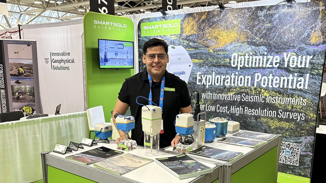
SmartSolo at PDAC 2025: More Sustainable Seismic Exploration
Discover how SmartSolo is making seismic exploration more accessible and eco-friendly – insights from PDAC 2025.
The 2024 AGU Meeting: Innovative Geophysical Solutions Showcased by SmartSolo
The 2024 AGU Fall Meeting in Washington, D.C. featured SmartSolo’s innovative seismic tools, showcasing their impact through live demonstrations.
SmartSolo Seismic Nodes Shine at SSJ Fall Meeting 2024
We showcased our cutting-edge seismic nodes at the SSJ (Seismological Society of Japan) Fall Meeting 2024, sparking conversations about the future of earthquake research and seismic sensing technology.
Explore SmartSolo by watching our videos, showcasing our products, services, and insights. This section provides tutorials, customer testimonials, and expert discussions.
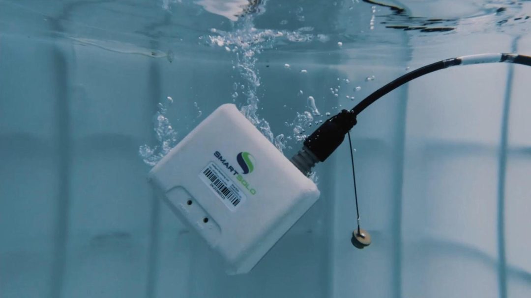
SmartSolo IMU-3C: High-Performance Seismic Datalogger for Real-Time, Anywhere Monitoring
The SmartSolo IMU-3C is a high-reliability seismic datalogger designed for real-time geophysical monitoring in any environment, including remote and harsh sites.
SeisSolo Three-Component Landstreamer System
SeisSolo, a new generation of landstreamers, cable free, quick to setup but also robust to move around.
Meet IMU-3C: The Next-Gen Seismic Monitoring Instrument
Discover SmartSolo’s IMU-3C, a cutting-edge 3-channel real-time seismic data recorder and logger for unparalleled performance and subsurface insights.
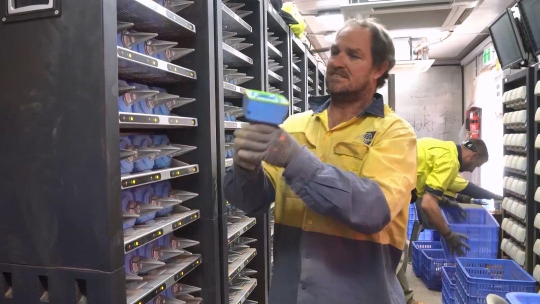
Introduction to IGU-16 Manufacturing and Delivery
The IGU-16 is an advanced seismic data acquisition system designed for modern geophysical exploration and research.
Seismic Node IGU-16 Drop and Tumble Testing Overview
Explore the IGU-16 Drop and Tumble Testing process, designed to ensure reliability and durability in geophysical equipment.