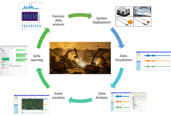
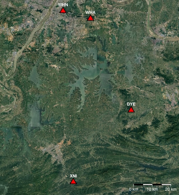
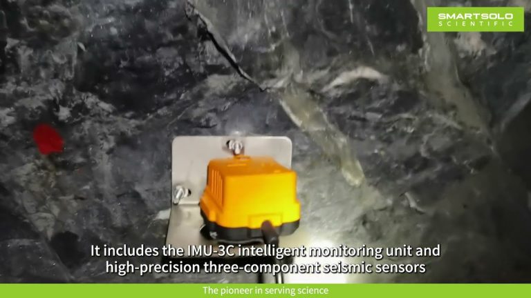
SmartSolo deployed a 50-node IMU-3C intelligent microseismic monitoring network in Western Hubei, China, to combat illegal mining. Using three-component triaxial geophones and AI-based signal classification,...
Transforming seismic research with portable, cost-effective, and efficient technology.
Discover how SmartSolo’s real-time microseismic system monitors gold mine fractures to enhance safety and efficiency....

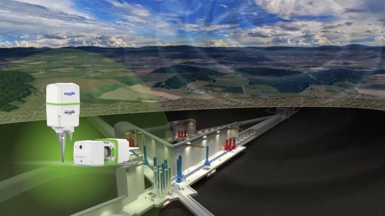
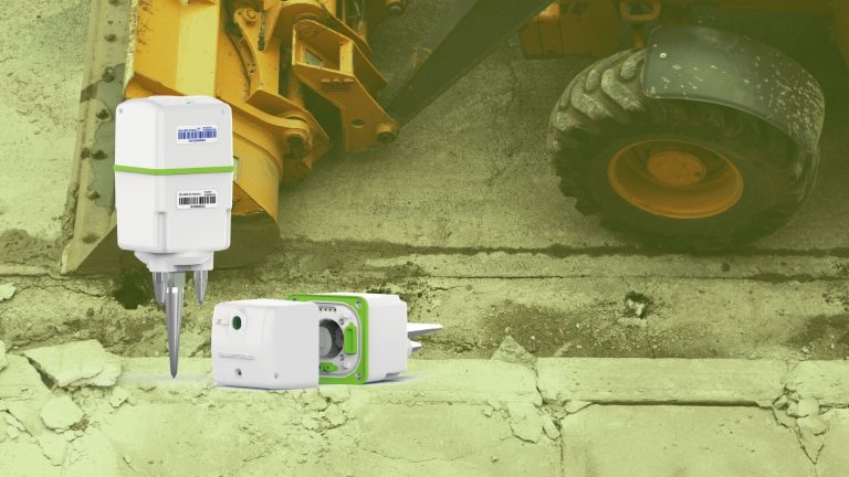
Explore how separating the battery pack from the main unit enhances SmartSolo nodes (Advanced Wireless Geophone)...
Explore how separating the battery pack from the main unit enhances SmartSolo nodes’ lifespan and efficiency, ushering...
Revolutionizing gravitational wave detection with SmartSolo seismic solutions.
Exploring sustainable vibration mitigation with SmartSolo IGU-16HR 3C nodes and Tire Derived Aggregates (TDA).
Using HVSR techniques to detect urban active faults and mitigate seismic hazards.
SmartSolo nodal seismometers demonstrate outstanding performance in seismic testing at Academia Sinica, Taiwan.
SmartSolo deployed a 50-node IMU-3C intelligent microseismic monitoring network in Western Hubei, China, to combat...
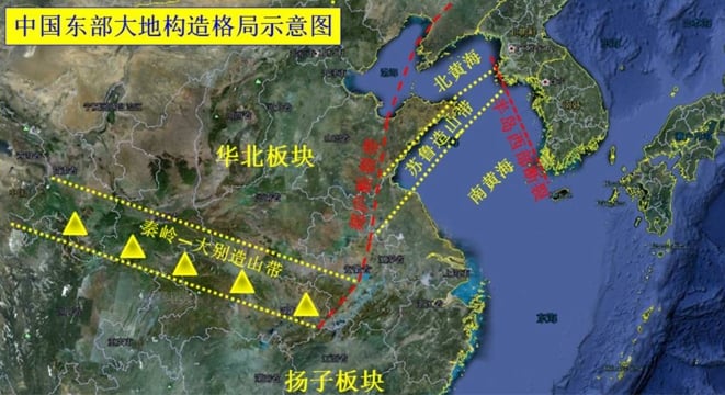
A research team from CAS Guangzhou Institute of Geochemistry deployed 220 SmartSolo nodal seismometers to reveal...