Why Accurate Earthquake Data Is Important
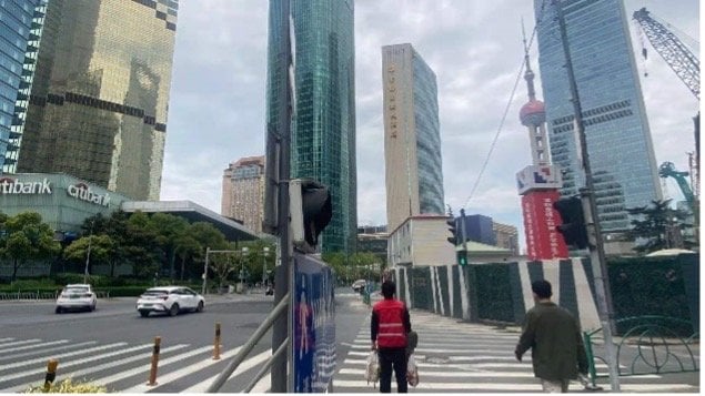
Shanghai, one of the largest cities in the world, faces the risk of earthquakes. To prepare better, the Seismology Bureau of Shanghai is working on a new map that shows where earthquakes are likely to occur and how strong they might be. This map will help the city improve safety and plan for earthquakes more effectively.
How SmartSolo Is Helping
SmartSolo provided the advanced technology needed to collect seismic data for the project. This data helps scientists create accurate computer simulations of how seismic waves travel through the city. These simulations are crucial for understanding earthquake impacts.
Key Details of the Project
- What Was Done: The Seismology Bureau conducted a 3D study to explore the underground structures of the city.
- How Many Stations: The team set up 4805 seismic stations across the city, including 1021 high-priority stations to collect the most important data.
- Project Timeline: The data was gathered from March 2nd to April 22nd to cover all necessary areas.
The Role of SmartSolo’s Geophones
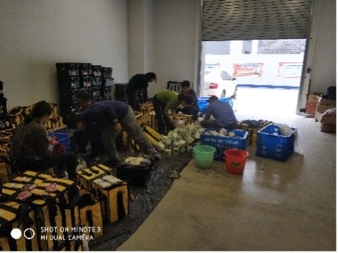
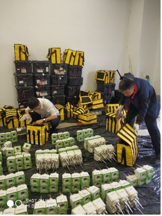
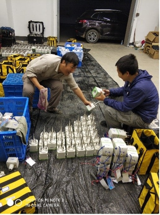
For this project, the team used 1200 SmartSolo IGU-16HR 3C geophones to collect seismic data. These geophones are crucial because they detect even the smallest movements in the ground, which is essential for accurate earthquake simulations.
Why SmartSolo Was Chosen
- Sensitive & Accurate: SmartSolo geophones are highly sensitive, capturing even the tiniest seismic waves to ensure precise data.
- Easy to Use: Their compact design made them ideal for Shanghai’s crowded urban environment.
- Perfect for Earthquakes: These geophones specialize in measuring the short seismic waves that matter most for earthquake studies.
How This Helps Shanghai Stay Safe
The data collected by SmartSolo will help improve Shanghai’s earthquake risk maps. This advancement will benefit several areas:
- Better Earthquake Risk Maps: More precise maps will help identify regions most likely to be affected by earthquakes.
- Stronger Buildings: The data will help create better building codes, ensuring structures can withstand earthquakes.
- Improved Emergency Plans: The results will also guide the development of more effective emergency response strategies.
Conclusion: Building a Safer Shanghai
With its high-quality seismic data, SmartSolo is helping Shanghai become more prepared for earthquakes. This project marks a significant step toward better earthquake risk assessments, which will protect both people and property.
SmartSolo’s contributions ensure that Shanghai can handle future earthquake risks, creating a safer city for its residents.