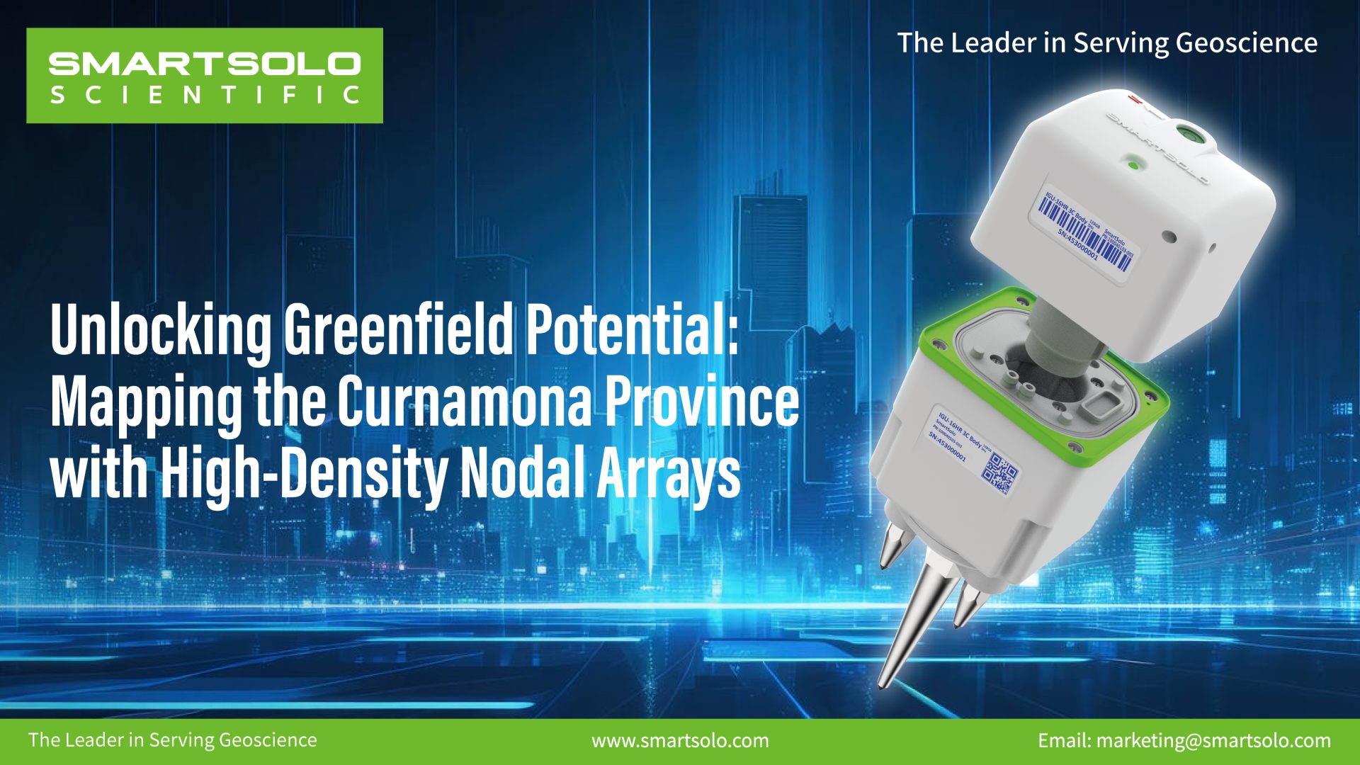
Unlocking Greenfield Potential: Mapping the Curnamona Province with High-Density Nodal Arrays
The Curnamona Province in southern Australia is a 90,000 km² Paleoproterozoic to Mesoproterozoic craton with significant mineral potential, yet much of the region remains underexplored due to pervasive sedimentary cover up to several kilometres thick. This study deployed 135 SmartSolo IGU-16HR 3C three-component nodal seismometers at an average station spacing of approximately 25 km, recording continuous ambient noise data over just 30 days. Using Ambient Noise Tomography (ANT), a detailed 3D shear-wave velocity model was constructed to a depth of 20 km. The results successfully delineated shallow sedimentary basins (Vs<3400 m/s), mid-crustal velocity gradients (~200 m/s west-to-east variation), low-velocity high-conductivity zones associated with ancient continental sutures, and the high-velocity signature of the Benagerie Ridge Volcanics. This study demonstrates the feasibility of SmartSolo nodal technology for rapid, high-density deployment in remote areas, providing an efficient solution for deep crustal imaging in greenfield mineral exploration.