Introduction Karst terrains, characterised by soluble rock such as limestone, present significant geohazards for urban development, infrastructure projects, and groundwater management. In rapidly growing...
Explore how separating the battery pack from the main unit enhances SmartSolo nodes’ lifespan and efficiency, ushering...
Revolutionizing gravitational wave detection with SmartSolo seismic solutions.
Exploring sustainable vibration mitigation with SmartSolo IGU-16HR 3C nodes and Tire Derived Aggregates (TDA).
Using HVSR techniques to detect urban active faults and mitigate seismic hazards.
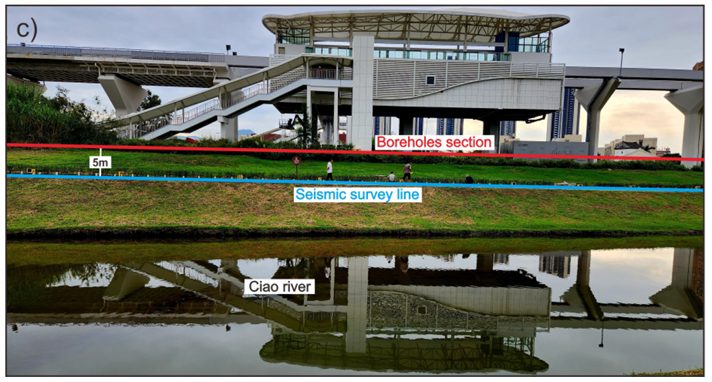
SmartSolo nodal seismometers demonstrate outstanding performance in seismic testing at Academia Sinica, Taiwan.
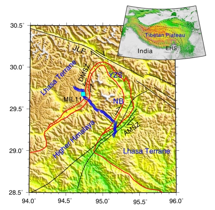
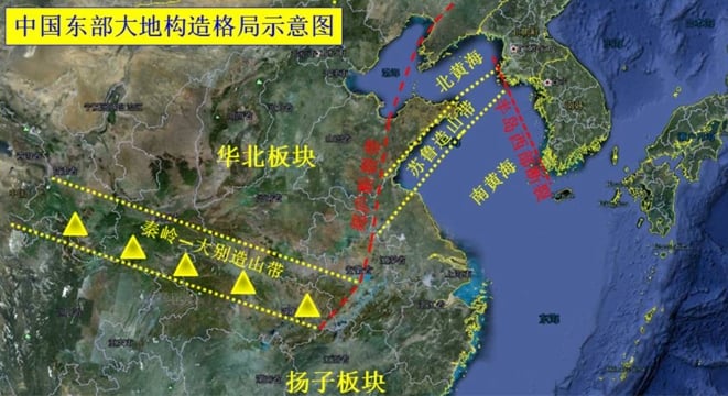
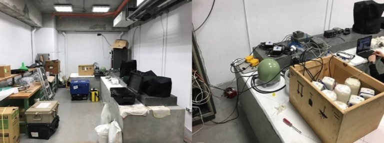
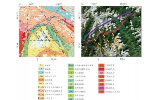
Analyzing crustal deformation mechanisms in the Himalayan tectonic junction with advanced seismic imaging tools.

Probing Antarctica’s ice sheet and crustal structures using advanced seismic imaging and geophysical techniques.
High-resolution S-wave velocity profiling for geological risk assessment along the Tongmai-Lulang railway route.
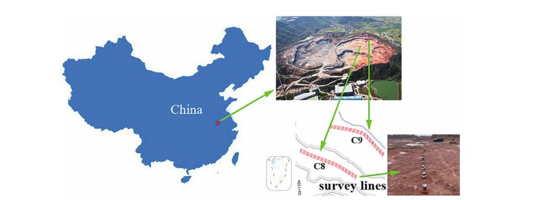
Introduction Karst terrains, characterised by soluble rock such as limestone, present significant geohazards for...
Introduction This case study showcases a pioneering application of passive seismic technology to advance “geological...