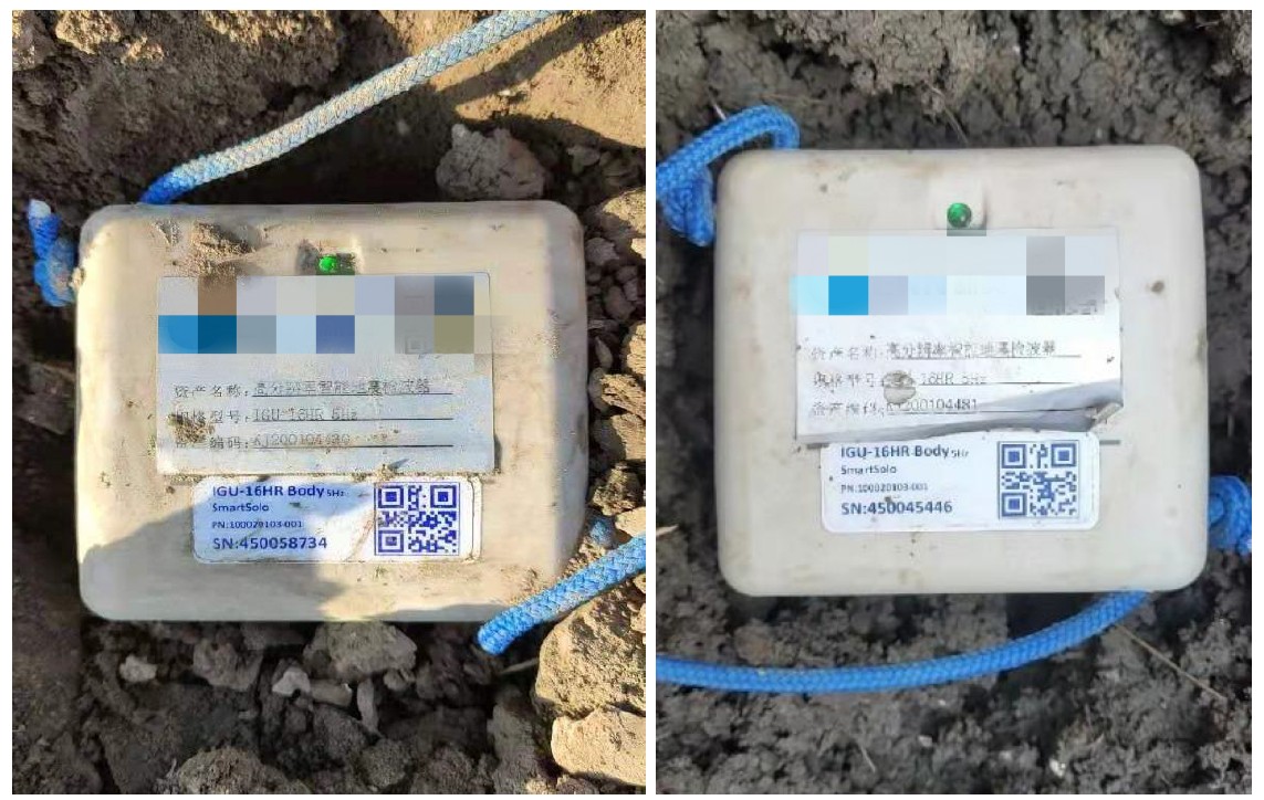
SmartSolo microseismic monitoring in Jiangsu geothermal project: precise fracture mapping guides development, unlocking clean energy.

Explore how separating the battery pack from the main unit enhances SmartSolo nodes (Advanced Wireless Geophone)...
Explore how separating the battery pack from the main unit enhances SmartSolo nodes’ lifespan and efficiency, ushering...
Revolutionizing gravitational wave detection with SmartSolo seismic solutions.

Exploring sustainable vibration mitigation with SmartSolo IGU-16HR 3C nodes and Tire Derived Aggregates (TDA).
Using HVSR techniques to detect urban active faults and mitigate seismic hazards.
SmartSolo nodal seismometers demonstrate outstanding performance in seismic testing at Academia Sinica, Taiwan.
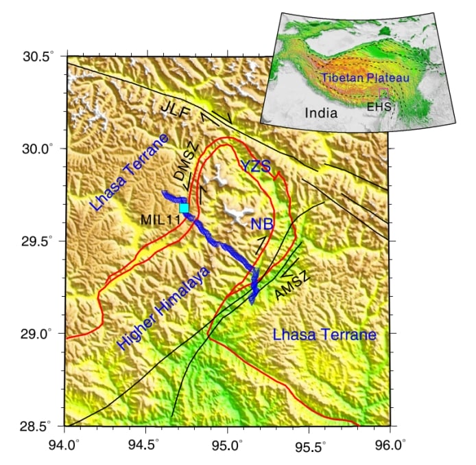
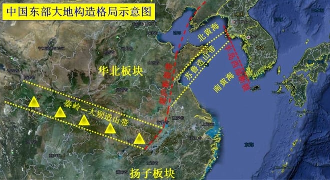
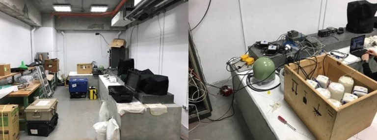
Analyzing crustal deformation mechanisms in the Himalayan tectonic junction with advanced seismic imaging tools.

Probing Antarctica’s ice sheet and crustal structures using advanced seismic imaging and geophysical techniques.
SmartSolo microseismic monitoring in Jiangsu geothermal project: precise fracture mapping guides development, unlocking...
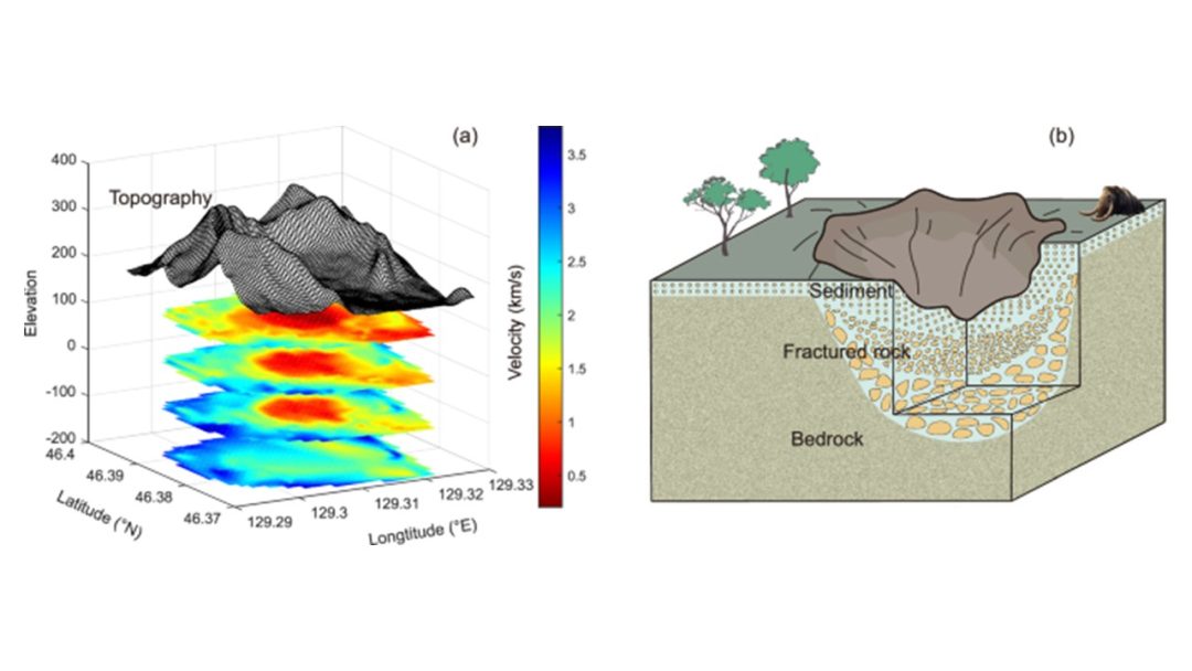
Explore the subsurface structure and impact process of the Yilan Crater in Northeast China using advanced seismic...